Career Readiness
Work Placements
New for students admitted in Fall 2024 (optional) and Fall 2025 (mandatory), the Geographic Analysis program will require completion of 3-4 co-op work terms. More information will be provided upon request.
Completion of the Practicum (course credit GEO 771), also known as "the internship", is a degree requirement. It ensures that Geographic Analysis graduates have successfully completed a work term in addition to their formal education. To qualify, positions must entail the utilization of the key theories, concepts, models, and tools studied in the classroom and labs.
The internship has been a part of the program since the 1970s, and has proven to be extremely valuable for both, graduates and employers. Students participate in work-integrated learning and gain practical experience with data collection, processing, management, analysis, visualization, and reporting. Meanwhile, the government, business, and non-profit community benefits from the interaction with potential future employees who have made the academic commitment to pursuing a career in Geographic Analysis.
The placement is normally completed as a fulltime, paid internship during the summer between third and fourth year. Although it is equivalent to a one-term co-op placement, it does not normally extend the student's time in the program. Students enrol in the practicum course after completing at least 350 hours of career-related placement(s). The course includes a reflection on the placement experience.
Employers interested in hosting a Geographic Analysis student intern are encouraged to contact Dr. Claus Rinner.
Examples of Recent Work Placements
- BlueDot
- Centre for the Study of Commercial Activity
- City of Barrie
- City of Kingston
- City of Markham
- Domino's Pizza
- Elections Ontario
- Empire Communities
- Environics Analytics
- Loblaw Companies Ltd.
- Metro Inc.
- Metrolinx
- Municipal Property Assessment Corporation
- Niagara Region
- Ontario Headwaters Institute
- Ontario Power Generation
- Ontario Ministries of the Environment, Conservation and Parks; Natural Resources; Transportation; others
- Riverdale Immigrant Women's Centre
- TD Bank
- Toronto Parking Authority
- Toronto Water
- Town of Ajax, Caledon, Township of King, and other Ontario municipalities
- Watson & Associates
- Wildlife Conservation Society Canada
- York Region
Experiential Learning
The application of classroom learning in practice, and the reflection on "doing geography", is at the core of the Geographic Analysis program. Experiential learning is integrated in a number of program components:
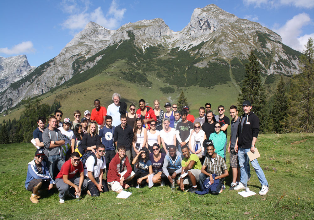
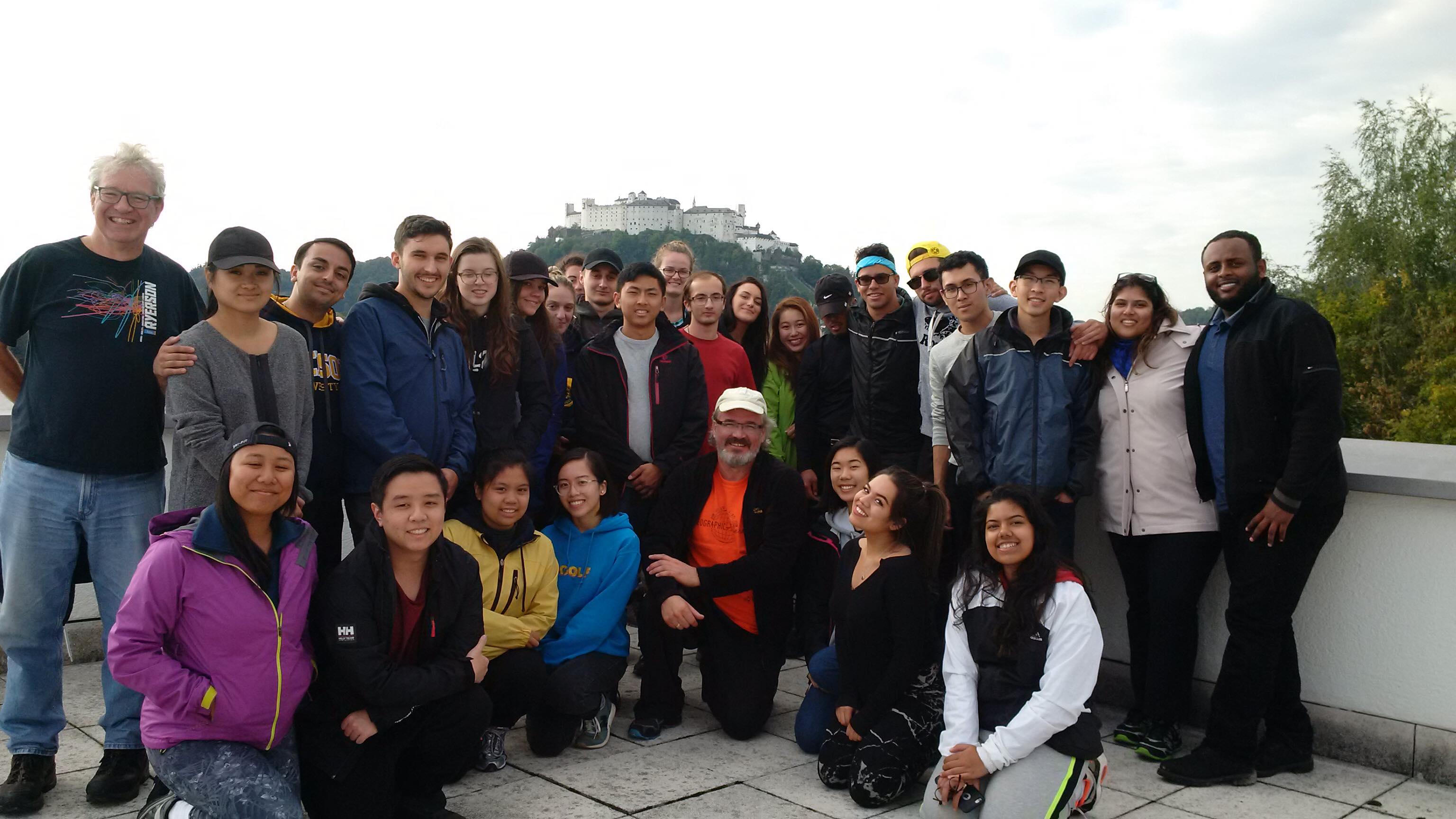
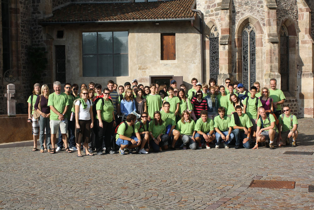
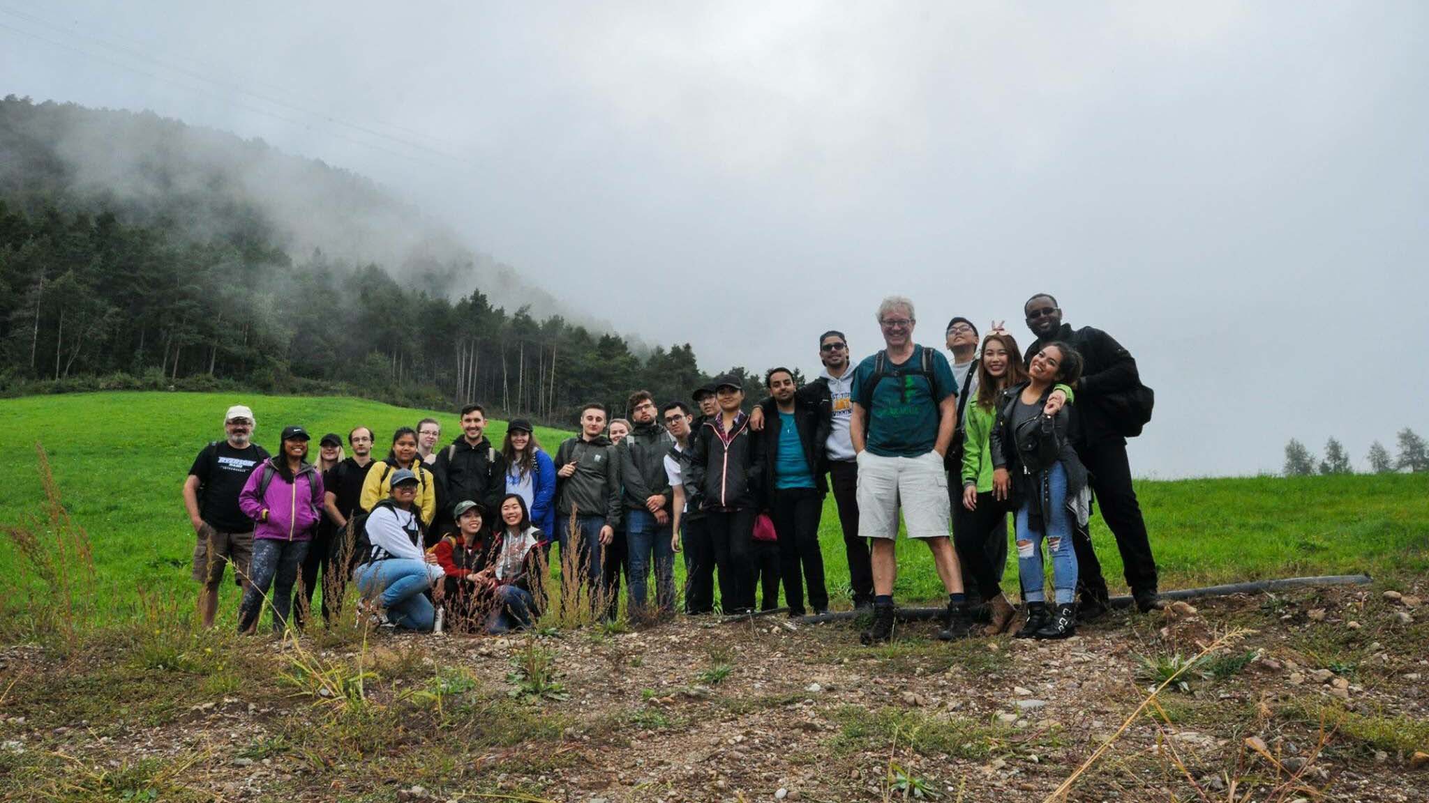
- Field studies - in-person observation and interaction with the human and natural environment (GEO 131, 141, 643, 773)
- Lab assignments - hands-on application of geospatial theories and concepts, development of technical research skills (all GEO x4x courses)
- Service teaching - student groups work for external clients from industry, government, and non-profits (GEO 873)
- Research training - students work on an individual research paper (GEO 772) or participate in faculty research through paid research assistant positions
Students also have an opportunity to spend one or two terms on international exchange. The Geographic Analysis program has partnered with Manchester Metropolitan University, England, the University of Stirling, Scotland, and Wageningen University in the Netherlands. More information on studying and working abroad is available through the Faculty of Arts Student Experience Centre (opens in new window) .